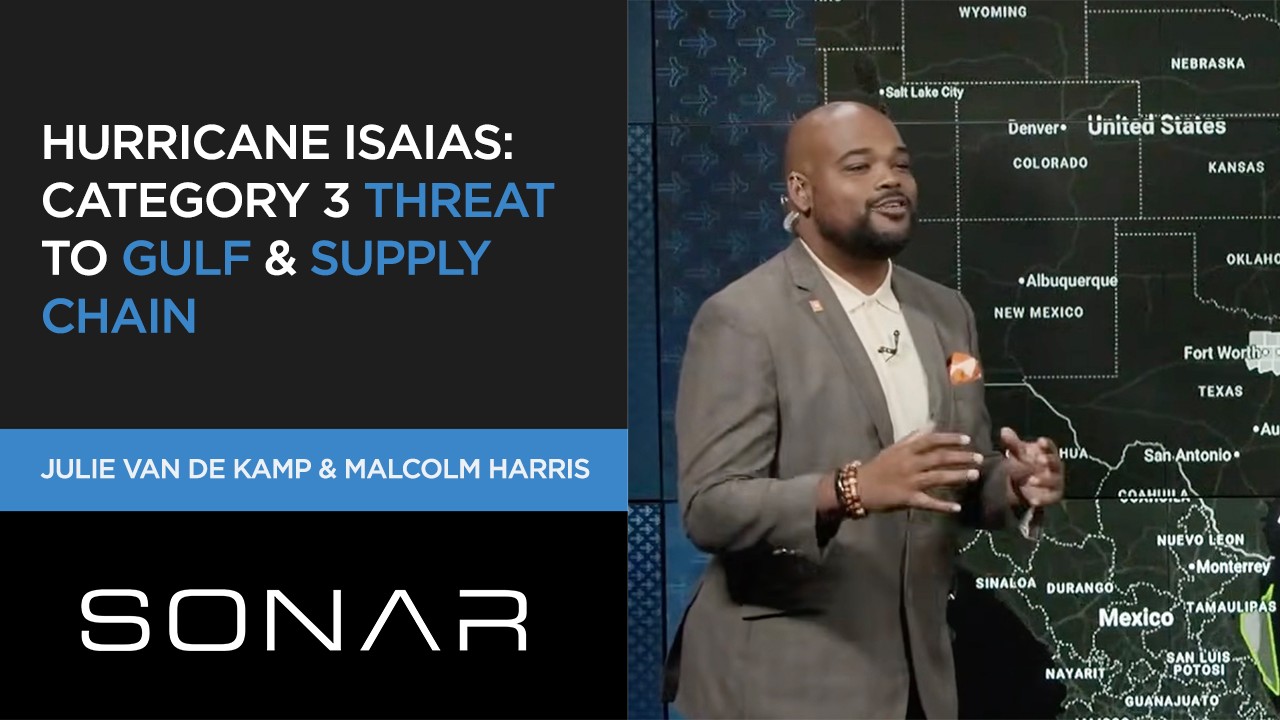
According to FreightWaves, Hurricane Isaias is intensifying in the Gulf and is forecast to reach Category 3 with winds up to 100 miles per hour before landfall Friday at approximately 2 p.m., threatening critical energy infrastructure and freight networks across the Southeast.
Projected Path and Immediate Risks
The storm’s projected path stretches from just east of Houston across to the Florida Panhandle — encompassing major freight corridors and energy infrastructure. Rainfall totals of 3 to 6 inches are expected region-wide, with localized amounts potentially reaching 10 inches. Meteorologist Malcolm Harris emphasized flooding as his primary concern, noting the storm’s eye is becoming more defined hourly. He advised residents in Gulf Shores, Alabama, and the Baton Rouge area to monitor conditions closely and use common sense regarding evacuation decisions.
“I do not play about the weather,” Harris said, adding that areas from Louisiana to the Florida Panhandle should prepare for torrential rain, wind, and storm surge.
Energy Infrastructure Under Pressure
Up to six refineries lie directly in the storm’s path. Gulf State refineries collectively account for 50% of the nation’s refining capacity — a total of 18.2 million barrels per day. Offshore production operators have already sent home nonessential workers, though output continues normally for now. Any significant damage could take days to weeks to repair — a concern amplified by already-elevated diesel prices.
“Gulf State refineries account for 50% of the national refining capacity of 18.2 million barrels per day. I don’t think this storm is going to be strong enough to do a lot of damage — but it is something for us to keep watching as we’re already in this current environment where diesel prices are incredibly elevated,” said Julie Van de Kamp.
Freight Market Response
Tender rejections in New Orleans, Mobile, and Montgomery are already running between 17% and 19%, edging above national averages. Truckload volumes are rising in New Orleans and Mobile as shippers move freight ahead of landfall. Van de Kamp expects a “Southeast pop” in spot rates and tender rejections depending on flooding severity and carrier access post-storm.
The Port of Mobile and Port of New Orleans both fall within the projected impact zone, raising the possibility of vessel delays and slowdowns in cargo unloading. The Port of Houston is not expected to be significantly affected. FEMA staging locations — including Jacksonville and Atlanta — could generate emergency freight demand in the days following landfall.
Source: FreightWaves
Compiled from international media by the SCI.AI editorial team.